
As Built Survey Drawing Service

Outdoor building scan

Outdoor building scan

Indoor Building Scan
Outdoor building scan
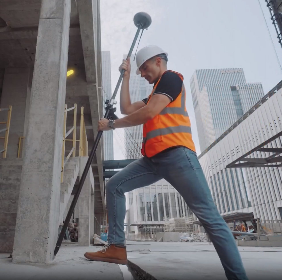
Accurate survey data is the key to success in building renovation design and construction. There are hundreds or even thousands of dimensions to be collected and also angular alignment for each building element. Conventional survey method by using Total Station gathering data point by point could be time consuming. We now use latest LiDAR scanner technology to do the survey.

Millions of points positions are collected in a short time with high accuracy (Error less than 10mm) The figure shown above takes only 5 minutes to collect the data. All facade corners, road pavement, fence, trees and even manhole cover would be scanned. We also have RTK GNSS receiver attached to the scanner to correct data in large area scanning.
Interior and exterior of multiple floor building can be scanned all at once. This also reveal the floor-to-floor height and wall thickness of the building. The image above takes 7 minutes to scan and result in 14 million points cloud. Tree and even electrical wire are also scanned.

The wall plan section can also be retrieved even with the room that full of obstruction. As you can see here the wall thickness and the alignment of each room is also collected.

The collected point cloud can be converted into 3D CAD automatically without human input. There will be no missing dimension or human error.

3D building section

3D building section

3D building section
3D building section
This 3D CAD model can be used in major CAD and 3D software such as Revit, 3DsMax, AutoCAD, Blender and Sketchup

AutoCAD Drawings

3D AutoCAD

3DsMAX
AutoCAD Drawings
2D Plan, projection and section views can be generated automatically and can be used in AutoCAD software. The whole process from scanning to complete 2D-3D drawings will take only 3-5 days.
Project Sample - Click below link to download sample file.
How 3D Scanning Can Turn Buildings into Realistic Models
Evaluating the Accuracy of Laser Scanners
Promotion Price - Until FEB 2024
First 50 sq.m - 6,000 THB*
Above from 50 sq.m - 15 THB/m2*
eg. 35 m2 condominium room costs, 6,000 THB
200 m2 house costs 6,000 + 150 x 15 = 8,250 THB
4,000 m2 shopping mall 6,000 + 3500 x 15 = 58,500 THB
* Price excludes VAT and travelling fee.
Setting Out/Stake Out Service

Setting out with RTK
Setting out with RTK

Setting out with RTK
Setting out with RTK
-
Stake out for piles, pile caps, fence, landscape.
-
Set out with RTK GNSS Receiver with high accuracy with error less than 15 mm.
-
Accept AutoCAD files. Only send us the AutoCAD files contain the points to be set out and we will do the rest
Price for setting out.
First 20 points - 6,000 THB*
Above from 20 point - 50 THB* / points
* Price excludes VAT and travelling fee.
Stockpile Volumetric Measurements

-
Accurate measurements of stockpile using laser scanner.
-
Fast survey - 10 minutes for 10,000 m2 area
-
Ideal for stockpile inventory audition of gravels, sand, coal and ores.
Price for stockpile measurement.
First 1,000 m2 - 5,000 THB*
Each square meter above 1,000 m2 - 2 THB/m2*
* Price excludes VAT and travelling fee.